
August 13 (Day 8 of our trip found us winding our way down Hwy 395 on the east side
of the Sierra Nevada Mountains, which is one of our favorite drives.

It wasn't all so pretty, since another massive wild fire
had swept through the area about 1 month ago.

We stopped at a favorite haunt... Topaz Lake.
It is known for its fishing, boating, camping, water sports
and as an outdoor recreation access point.
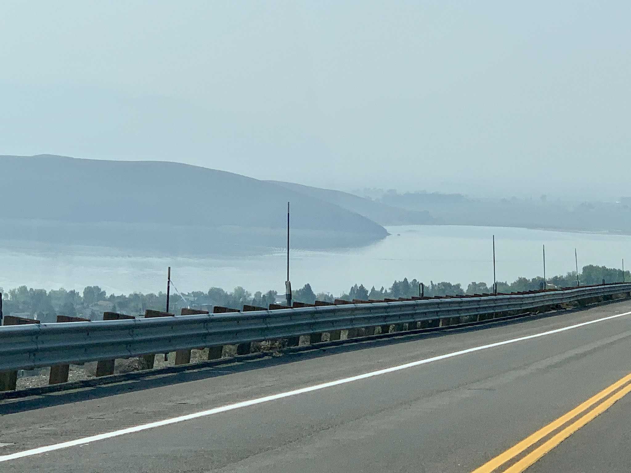
While here many years ago, Don & I kayaked around the 25 mile shoreline
of Topaz Lake. I got the short straw so our 92 lb dog reluctantly sat
in the back of my kayak.

Taking an opportunity to get out of the car and walk around,
I couldn't resist taking a photo of these charging stations. A friend
had recently sent us an interesting "proof you can't fix stupid" fact to me so
I decided to pass it on...
A 350kw generator uses 12 gallons of diesel fuel per hour, and it takes 3 hours to fully charge a car to get 200 miles.
That's 36 GALLONS for 200 MILES! 5.6 mpg.

Shortly after leaving Topaz Lake we crossed the border
back into CA.

You could tell by the fuel prices which is why we filled
up in NV

A historical marker told us the story of Fremont's Trail 1844.
(Click on any photo for a larger view.)
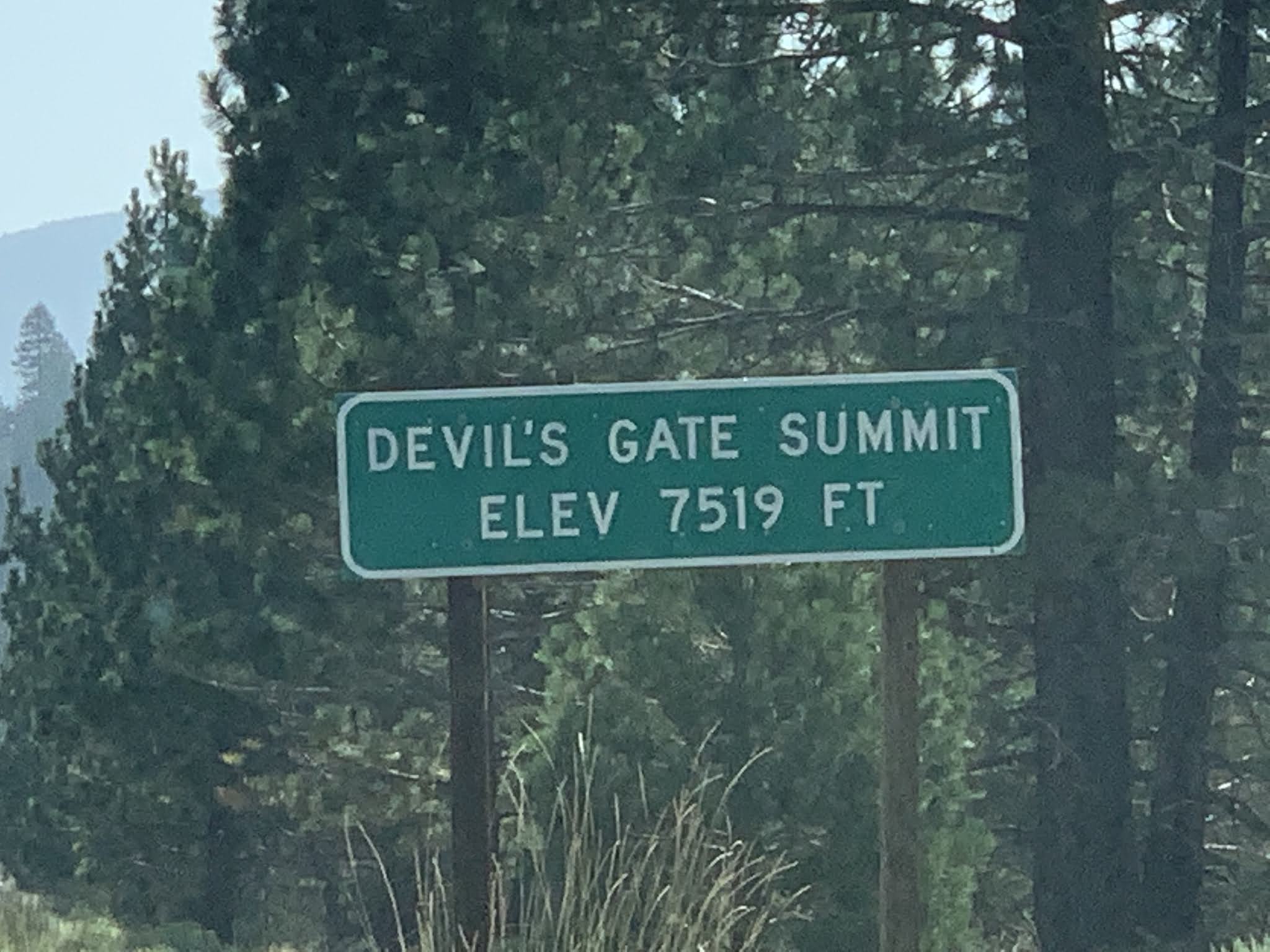
And, we climbed up and down over many high summits most of the day.
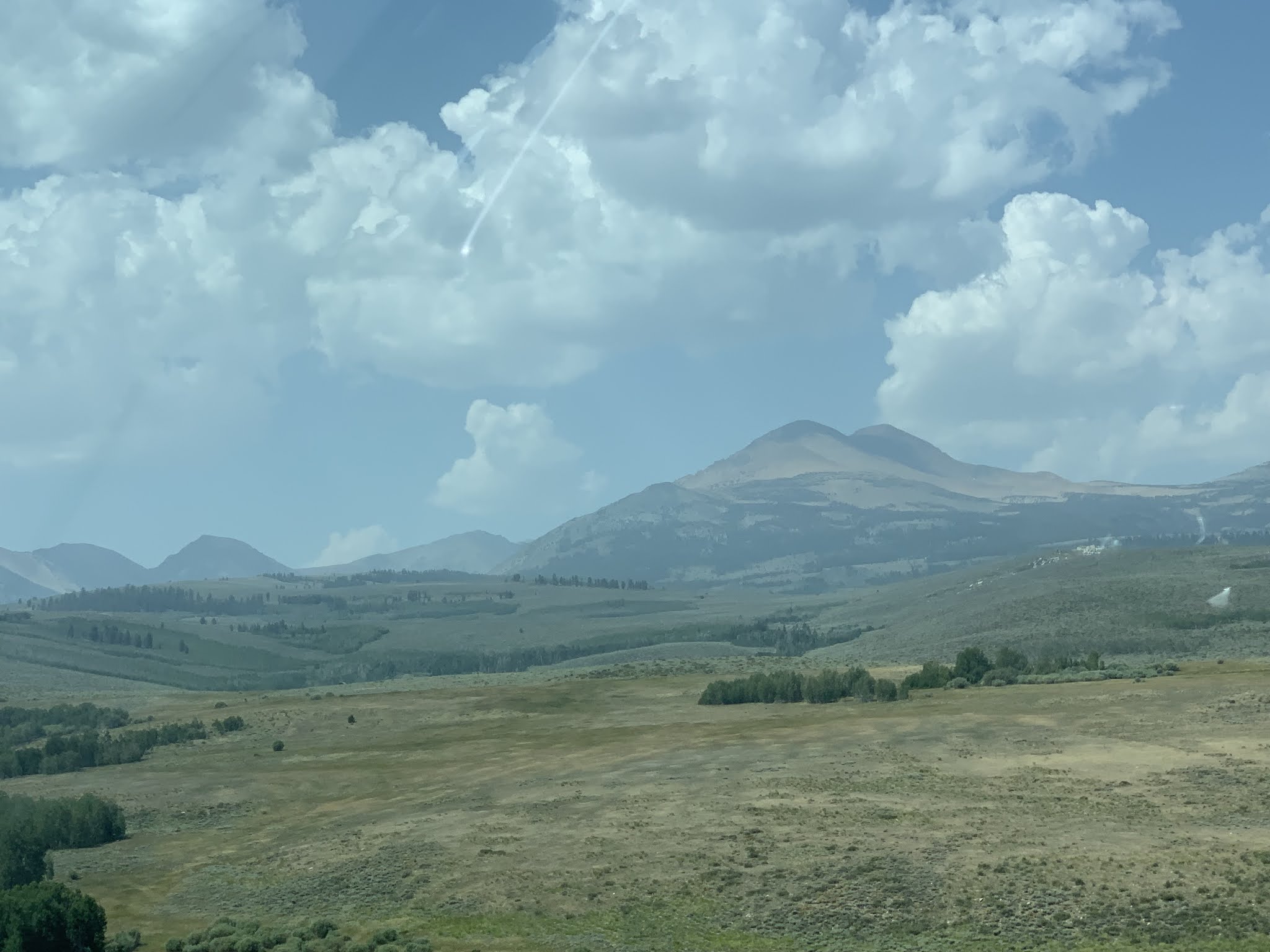
After a while the smoke cleared and the clouds offered
great lighting, so I faced right and captured vistas
of the Eastern side of the Sierra Nevada Mountains.

Enjoy the ride... no descriptions needed. A picture is
worth a thousand words...


Manzanar was a concentration camp during WWII and now has
an information center which we visited on a prior trip.
About two-thirds of all Japanese Americans interned at Manzanar were
American citizens by birth.

The 500-acre housing section was surrounded by barbed wire and
eight guard towers with searchlights and patrolled by military police.
By September 1942 more than 10,000 Japanese Americans were
crowded into 504 barracks organized into 36 blocks.

Let's get back to those beautiful Mountains... Peaks range from
11,000' to 14,494' with Mt Whitney being the tallest. The
range contains 2074 named mountains!!!

Another interesting fact, the tallest mountain in Ca (Mt Whitney)
is only about 80 miles, as the crow flies, from the lowest point in the state.
Death Valley is 280' below sea level.

It's challenging to identify Mt Whitney from all those high peaks
depending upon your vantage point. An easy way to tell...
see the tallest peak from this angle, that's Whitney. And the locals
tell me that you can tell by the 2 slender mountains to it's
immediate left.

I took this picture and the one above in 2015. This one at sunset and the
photo above as the sun rose in the morning...

And the view from our lodging in Lone Pine CA this time,
provided us with a beautiful view of Mt Whitney about 2:30 in
the afternoon. Based upon the hints given above, can you
identify Mt Whitney?


No comments:
Post a Comment