
Destination Bakersfield... 336 miles 5 1/2 hours of driving time.

Things got a little more interesting after we crossed the Colorado River,

like the Borax Plant in Boron CA.

And some unidentified items on the horizon.

Basically the trip showed us a lot of nothing...
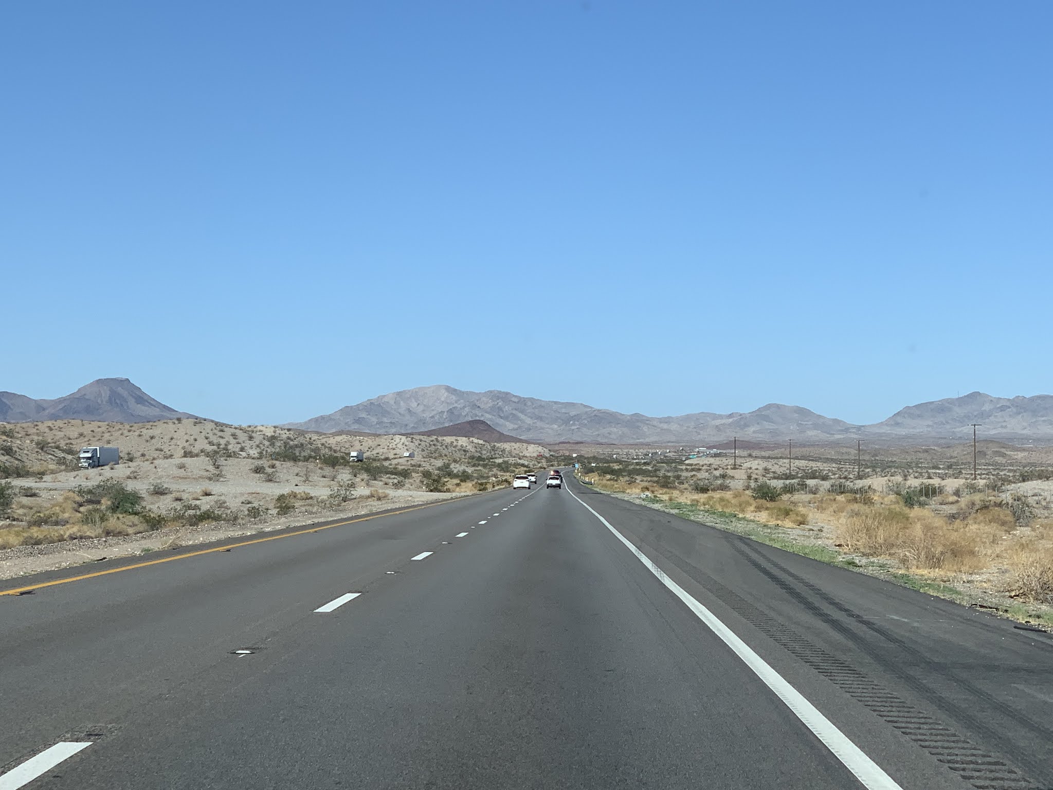
for miles ahead and it was very hot all day... over 100.

You know it's pretty boring when the photographer takes
photos of over crossings !!!

Lots of straight highways as far as the eye could see.

This sign made us chuckle. Wishful thinking for sure.

Must have been what this guy was hoping for because we never saw
any sign of water since we crossed the Colorado River many
miles in the opposite direction.
Lots of nothing continued but we saw a little pattern

and color here and there.

And, lots of 18 wheelers as far as the eye could see.

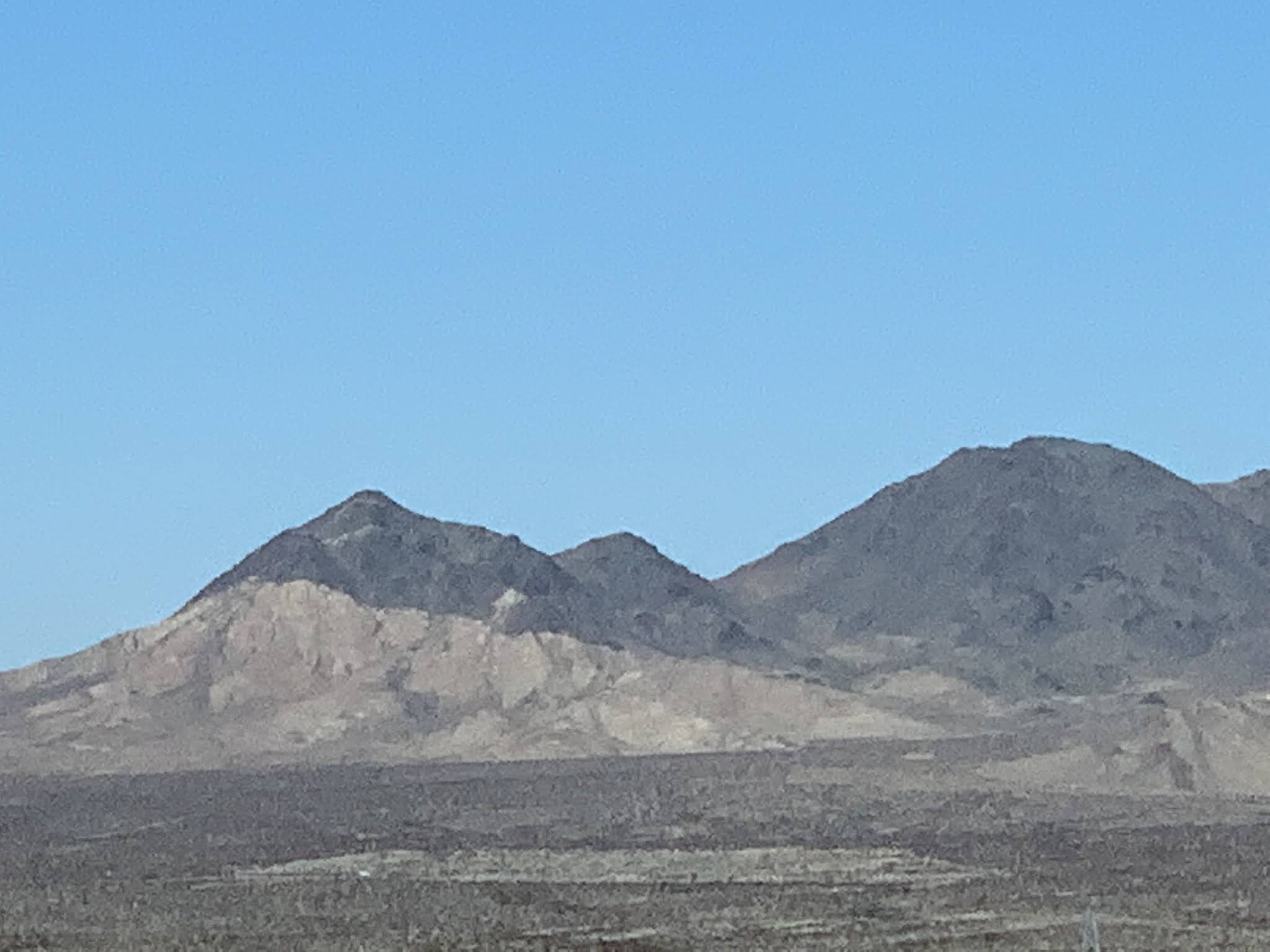
A little texture appeared as we headed down and

then we noticed this dark area which we thought was caused by clouds

but when I opened the sun roof, there wasn't a cloud in the sky.

The dark was caused by a large lava flow from far away mountains
thousands of years earlier.

Then back to nothing... But wait, what is that little dark strip?

A nicely resurfaced portion of Route 66.

Time for a break so Don could do some geocaching along
this famous and interesting route.

Don found the location close to the road. It was listed as
large and boy was I excited... I hate those micro caches!!!

Looks pretty big to me, how about you?

And it was pretty interesting. (Remember to click on any
photo for a larger view.)

One of the most fun and appropriate caches for the
area in my opinion.
Dn was pleased to sign it.

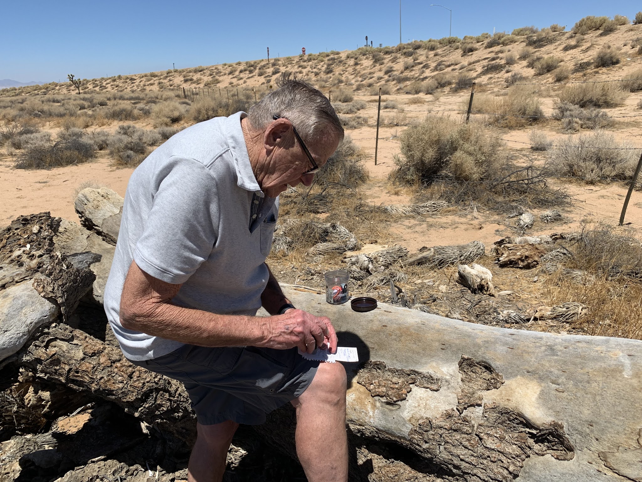
The next one involved more effort than walking a 100 feet on
level ground.

South of the National Trails Hwy (Route 66), "Emigrants Pass"
had no hints and involved a vertical gain of 50 feet.

"Hidden in a small natural hole...covered with a local rock"
was the description listed on Geocaching.com

Got it!!!
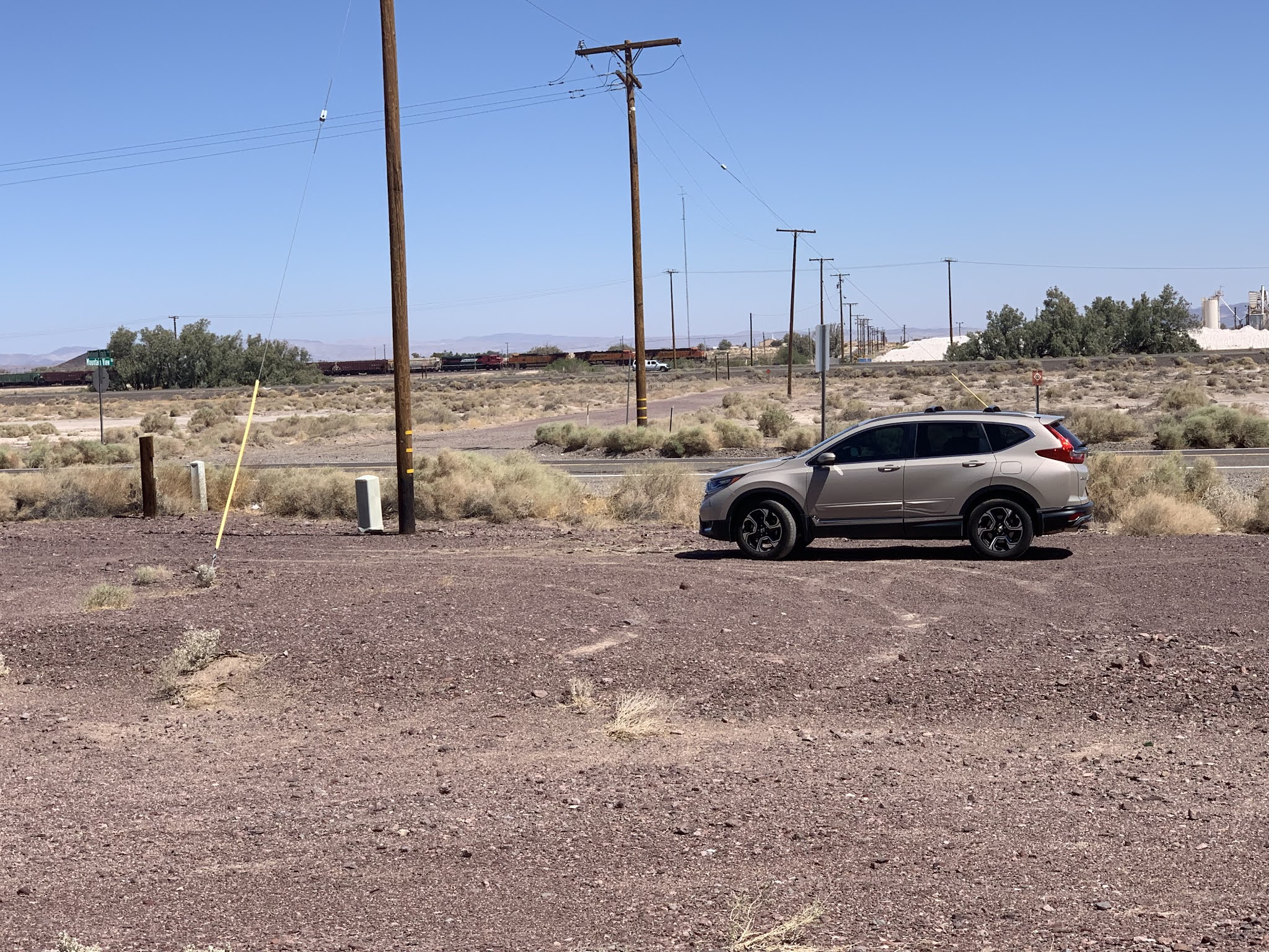
Sure glad we ordered "dirt" as a color when the salesman at the
Honda dealer asked us what color we liked. He asked if
metallic sandstone would do. YES...

The next geocache was at the Historic Cliff House at Newberry Springs.
In the 1930's it sported a gas station, cafe, cabins for rent, a
general store, post office, swimming pool and a Trailways bus stop.

Hint: Are these bars..

I'd been trying to get a close-up train photo all day and when
I turned around one happened to be passing by on a distant
track so my I-phone did it's job and zoomed in real close to
catch the two engines pushing the train up the hill, while two
engines pulled it on the front end.
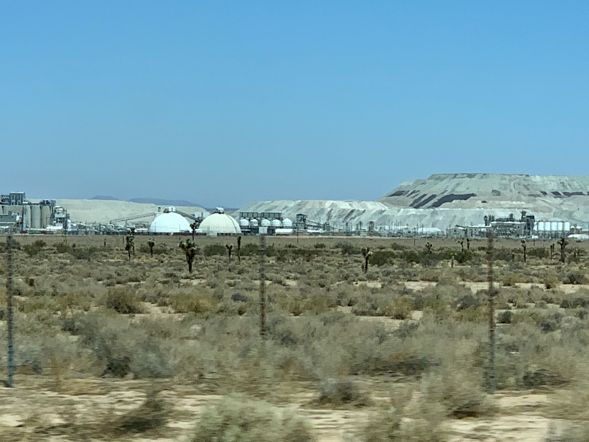
Then the Borax Plant caught my eye as we passed by
on Highway 58 near Boron CA.

Another geocache entitled "Rest in Peace, Josh" was easy to spot.

Of course as usual you have to walk all around to locate the cache.
I had never petted a Joshua Tree before, dead or alive, and when I
did, I found the texture was soft and smooth and not like wood at all.
Don signed the log and we were on our way.

By the time we reached Tehachapi we needed "fuel".

Welcome to CA
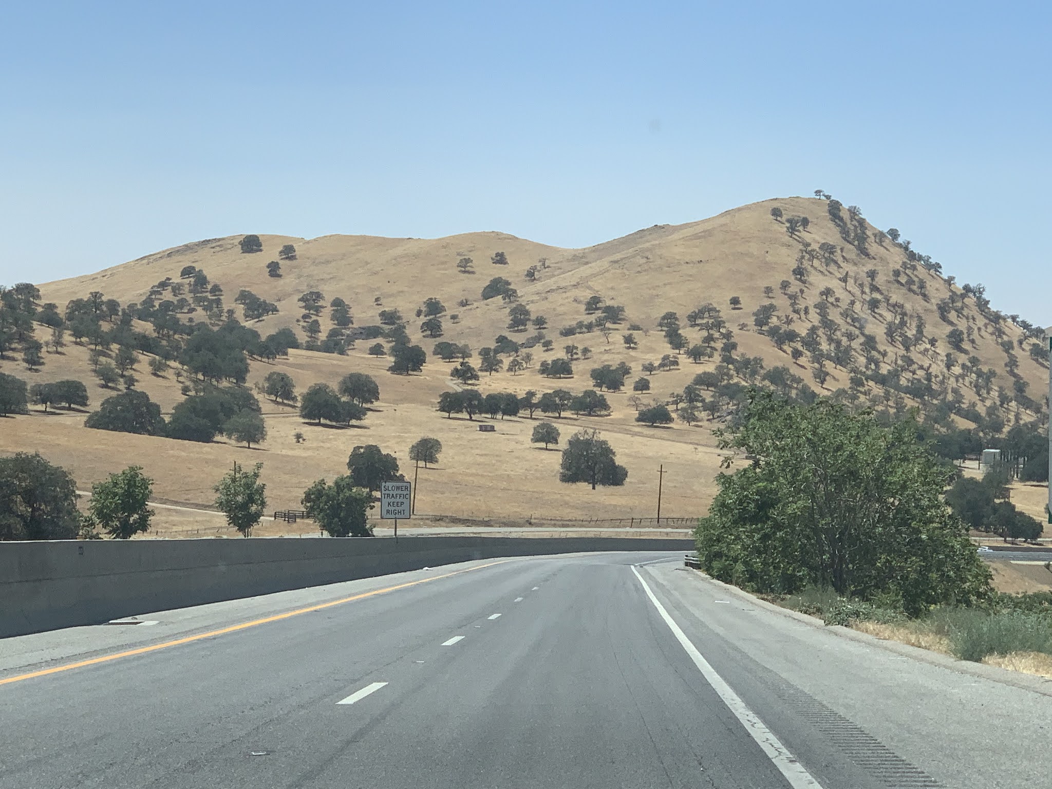
Typical scenery around Bakersfield CA is rolling hills and Oak trees.

And by the time we reached Bakersfield we also needed fuel
so we headed to the motel's in house restaurant and pigged out.
It was excellent. Best Western Plus Hill House.


No comments:
Post a Comment