They settled on a green spot, running right past a cottontail
who didn't move a muscle. You know what those bunnies think...
"If I don't move they won"t see me."
Friday, August 27, 2021
Wandering Around in Circles (again)...
This morning I headed out at 5:40 a.m... before sunrise,
and it was already 81 degrees, headed for 106.
The street lights were still on.
The sun rose at 5:57 and I'd already walked about a mile.
No one else was out
except for a variety of birds and bunnies. The morning dove did
it's best to welcome me from it's "birds eye view" position atop
a light pole. Thank you...
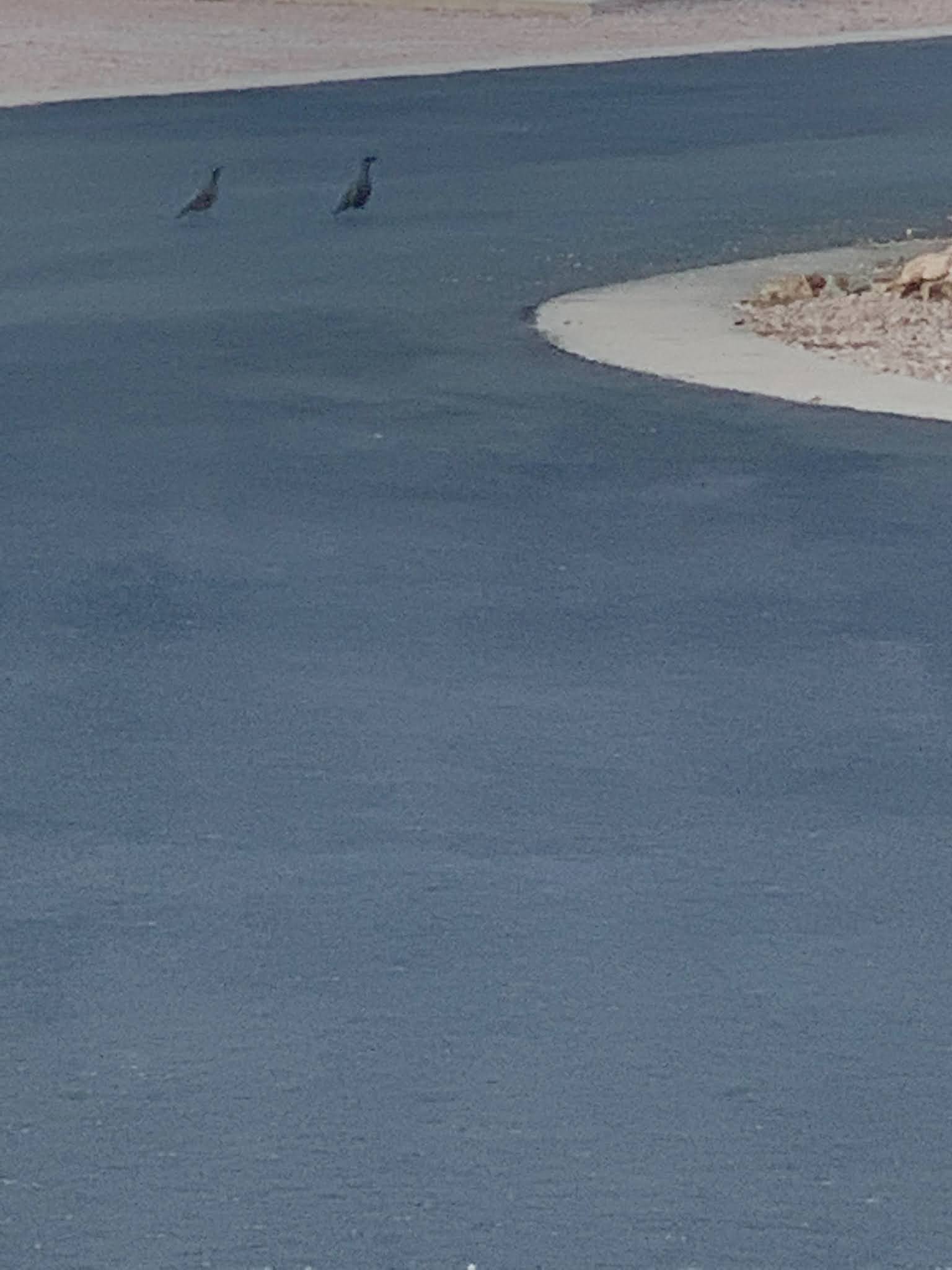
And just down the road, I spotted a couple of quail, who were
working hard to gather up their family, and find cooler ground.
No one playing Pickleball either... too early, and going to be too hot.
As the morning sun hit my back I was near the baseball
field and discovered that I had become very tall and slim,
probably due to all this walking in circles I do many days a week.
Even with all this heat, thanks to the Monsoon Season, which
has just ended, the desert had turned a beautiful green
which was enhanced by the early morning light and made
the Palo Verde tree glisten.
"Snowbirds", the human kind that arrive in AZ for the warm winter,
have not arrived yet, but will start doing so in mid-September.
The sun had climbed quickly in the sky and bathed the east facing homes
with lots of early morning warmth,
telling this walker it was time to head for home.
My Runkeeper app keeps track of me when I walk or hike and
shows me where I've been and tells me how long it took.
I traveled 2.76 miles in about 40 minutes which included all the
photo opp stops.
Now, my only question is what do I do with the
rest of the day... it's only 6:20!!!!!
Wednesday, August 18, 2021
Heading Back to AZ - Part 2
Still heading south on 395, but the mountains are not as high....
but still have character.
We resisted taking any dirt roads along the way and Don
kept the pedal to the metal.
We enjoyed Little Lake Mary on the fly...
and resisted the turn off for Amboy where we'd been before.
It is worth a visit if you're in the area. It is located in the Mohave
Desert south of Hwy 40 between Newberry Springs & Needles CA on
Route 66.
The volcano located here erupted 10,000 years ago and the crater is 250' deep.
The area is designated as a National Natural Landmark and
was recognized as a World Heritage Site in May of 1973.
This had no designation, it was just interesting to me so
I took a closer look with my i-phone.
Before we knew it, the highway split and we veered left on
395 south, but wouldn't go to San Bernardino... don't do large cities!!!
A trio of bikers was following behind as we took a cut-off
which was narrow and didn't offer many passing opportunities.
One biker kept standing up on his bike to see farther down the road,
so I took a picture of him in my rear view side mirror.
The noise got louder and Don eased to the right a little.
As they raced by, all the guys gave him a thank you wave.
Soon were back to 18 wheeler time on Highway 58 towards AZ...
Loved this guys patriotic truck. Looked like the flag was flying
as fast as he was when he passed us by.
Crossing the Colorado and
entering AZ. Time to fill up with fuel now that we are
out of CA.
The "Needles" are a prominent feature just after you cross the river.
Our last night was spent in Kingman AZ.
I've always enjoyed the scenery around Kingman.
Well, since you've seen all this on our way to CA,
I'm going to read my book for the rest of the trip.
To wrap things up for our 1963 mile 10 day marathon round trip to CA, I prepared
this map for your information. You can bet I won't be asking Don
to "take me for a ride" anytime soon!!!
Heading Back to AZ - Part 1
August 13 (Day 8 of our trip found us winding our way down Hwy 395 on the east side
of the Sierra Nevada Mountains, which is one of our favorite drives.
It wasn't all so pretty, since another massive wild fire
had swept through the area about 1 month ago.
We stopped at a favorite haunt... Topaz Lake.
It is known for its fishing, boating, camping, water sports
and as an outdoor recreation access point.
While here many years ago, Don & I kayaked around the 25 mile shoreline
of Topaz Lake. I got the short straw so our 92 lb dog reluctantly sat
in the back of my kayak.
Taking an opportunity to get out of the car and walk around,
I couldn't resist taking a photo of these charging stations. A friend
had recently sent us an interesting "proof you can't fix stupid" fact to me so
I decided to pass it on...
A 350kw generator uses 12 gallons of diesel fuel per hour, and it takes 3 hours to fully charge a car to get 200 miles.
That's 36 GALLONS for 200 MILES! 5.6 mpg.
Shortly after leaving Topaz Lake we crossed the border
back into CA.
You could tell by the fuel prices which is why we filled
up in NV
A historical marker told us the story of Fremont's Trail 1844.
(Click on any photo for a larger view.)
And, we climbed up and down over many high summits most of the day.
After a while the smoke cleared and the clouds offered
great lighting, so I faced right and captured vistas
of the Eastern side of the Sierra Nevada Mountains.
Enjoy the ride... no descriptions needed. A picture is
worth a thousand words...
Manzanar was a concentration camp during WWII and now has
an information center which we visited on a prior trip.
About two-thirds of all Japanese Americans interned at Manzanar were
American citizens by birth.
The 500-acre housing section was surrounded by barbed wire and
eight guard towers with searchlights and patrolled by military police.
By September 1942 more than 10,000 Japanese Americans were
crowded into 504 barracks organized into 36 blocks.
Let's get back to those beautiful Mountains... Peaks range from
11,000' to 14,494' with Mt Whitney being the tallest. The
range contains 2074 named mountains!!!
Another interesting fact, the tallest mountain in Ca (Mt Whitney)
is only about 80 miles, as the crow flies, from the lowest point in the state.
Death Valley is 280' below sea level.
It's challenging to identify Mt Whitney from all those high peaks
depending upon your vantage point. An easy way to tell...
see the tallest peak from this angle, that's Whitney. And the locals
tell me that you can tell by the 2 slender mountains to it's
immediate left.
I took this picture and the one above in 2015. This one at sunset and the
photo above as the sun rose in the morning...
And the view from our lodging in Lone Pine CA this time,
provided us with a beautiful view of Mt Whitney about 2:30 in
the afternoon. Based upon the hints given above, can you
identify Mt Whitney?
Subscribe to:
Posts (Atom)
Another Mixed Bag: Ruby + Flowers and other things...
Can you believe this weather for the Sacramento CA area in late JUNE??? Time to head outside. There were interesting vapor trails in a beau...
-
Catching up is hard to do since it's been over a month since I've written based on the fact that hubby Don passed suddenly from a ma...
-
Can you believe this weather for the Sacramento CA area in late JUNE??? Time to head outside. There were interesting vapor trails in a beau...
-
Since all the "grandkids" spent Thanksgiving Day with the other side of their families, daughter Kristine and hubby Richard (far r...