Superior is a town in Pinal County AZ with a population of only
2837 according to the 2010 census. It was founded in 1875.
with the establishment of 2 copper mines, the Silver Queen and
the Silver King. In 1910 both mines were owned by Colonel Boyce
Thompson, and he renamed it Magma Copper Company. Some
predicted that in 1982 when the towns largest mine shut down Superior
would become another Arizona ghost town. However the Magma
Mine reopened in 1990 as the Resolution Copper Company.
A copper dome was found 7,000 feet underground that was
projected to be the largest copper vein in the US and the fourth
largest undeveloped copper deposit in the world.

Christmas was in the air as we wandered about main street so

Don could gather a few geocaches. The one found here was
called "A Hard Rock in Superior" Geocaches often offer a clue to
help you locate the correct place. The clue for this one was
"Rest a Spell" so Don new he was in the right location although
he didn't sit on the bench but did find the Geocache!!!

This cache was appropriately named "A view of Apache Leap" which
you see in the distance. Legend has it that this was where a mass
suicide of Apache Warriors (1870's) took place as the U.S. Cavalry
drove the Apaches to the edge of the cliff, where they chose to leap to their
deaths rather than surrender.
Some geocaches are just a log sheet in a very small container
attached via a magnet to the underside of a railing or sign, etc. And
Don found about 4 of these planted by our good friends
Curt and Coleen who's geocaching handle is Seek 84. When
the finder locates the cache they sign the find with their name.
Don's is cadon.
Another kind of a geocache is located on an app on your phone
called "Geocaching Adventure Lab". Coordinates take you to
a location and then it asks you to enter the answer to a question. The question
for this one was "what are the two dates on black marker". If you enter
the answer correctly, it gives you driving directions to another cache "station".
For example when we got here it asked for the #s on the mailbox.
So you can see how it goes. We were taken to different places
to answer questions,
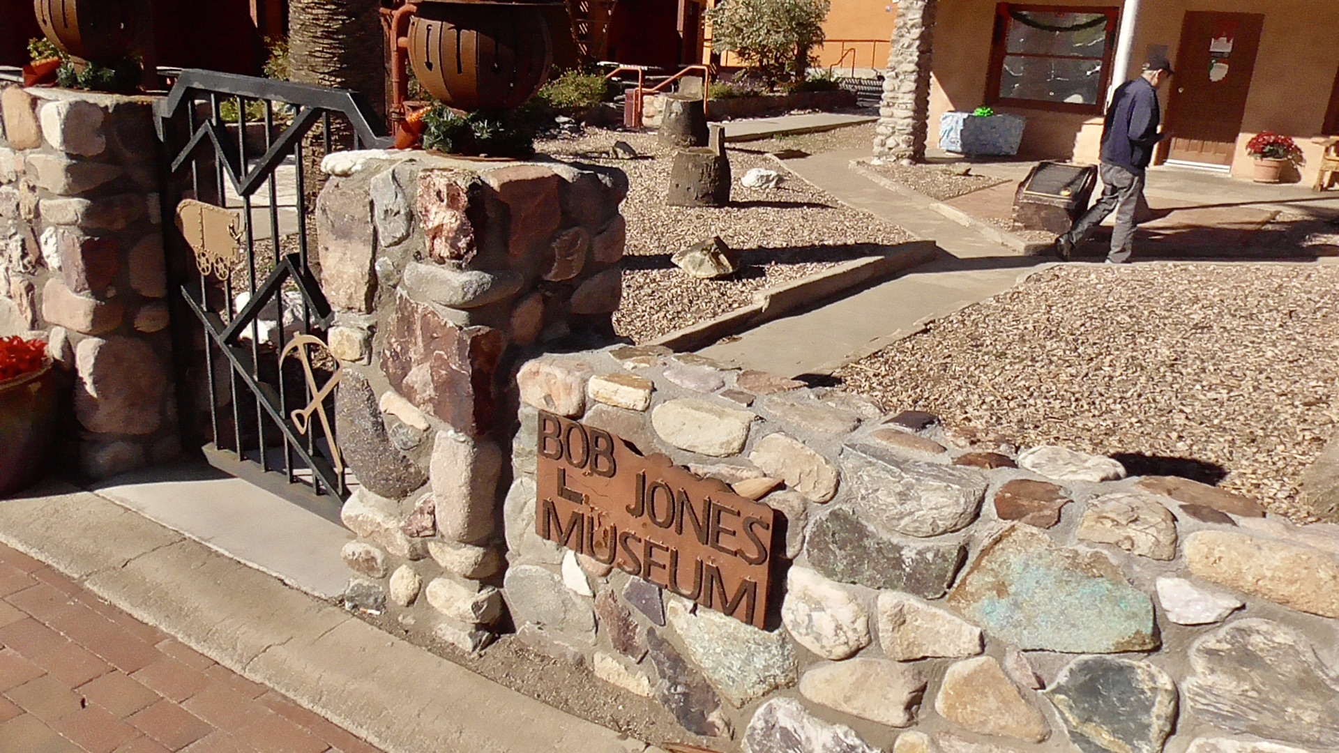
including the World's Smallest Museum. Thanks Coleen & Curt
for placing all these caches, which took us to many
interesting and fun places in historical Superior AZ.
Non-geocaching photo stops, for me, included the many murals around
town like this one.
and my favorite was the Barmacy.
The video below will explain it all...
One of the close-ups featured Picket Post Mountain.
The mountain's unusual name stems from an early military camp
established at the base of the mountain by
General George Stoneman in 1870. The
soldiers nicknamed the mountain “Picket Post” due to its usage
as a sentinel point to guard their camp from attacks.
It has an elevation is 4377’
There is an easy 8.6 mile loop trail around the base
with only a 754’ elevation gain. I've hiked it many times with the
Canyon Vistas Hiking Club.


No comments:
Post a Comment