As we headed out of town to check out some fall colors
we encountered many road closures, not road construction,
but road closures, which gave us a shaky start.

Once we exited I-17 onto Hwy 89A, things got a little better
as we headed north thru Sedona and Oak Creek Canyon.

This scenic route includes lots of red rock formations.


Our first stop 2 1/2 hours and 157 miles later
was worth every minute and mile. The Chapel of the Holy Cross
was absolutely stunning. It was completed in 1957
and is on the Register of National Historic Places.

It has been part of the Roman Catholic Diocese of Phoenix
since 1969 when it was split off from the Diocese of Tucson.

The climb up thru the canyon offered colored rocks &
steep spires.

Colors were turning

but every scenic pullout was jammed with cars that
were overflowing onto the shoulder so we missed
most of the "stops" we had planned. There are many
hiking trails in the area and that was the problem.

We did manage to find a parking place at a "Scenic Vista" overlook

and really enjoyed looking back down the Oak Creek Canyon drive.

A special bonus... A Native American Arts & Crafts show
was taking place at the Scenic overlook. Yippee.

Day 2 offered it's own beauty as we headed south on
Lake Mary Road, also known as County Road 3, which was 2 paved lanes
with absolutely no traffic, even though it was a Friday. A welcome
relief from yesterday's wall to wall traffic!!!

Since we had all day we deviated from the plan now and then
This side trip (also paved) on CR 128 lead us to

one of the Lowell Observatory locations which houses a
Perkins Telescope. This is a non-profit research institute that
offers private and guided tours. A little research will tell
you the specifics of a Perkins Telescope.

And even though it wasn't dark, I couldn't resist looking towards
the sky while standing under this giant Jeffery Pine at
an elevation of 7210'

Lake Mary Road is 53.7 miles long and is lined with one lake
after another... Lower Lake Mary, Upper Lake Mary and you
got it, Lake Mary. The maximum length is 5 miles with a width
of about 2000' and a shallow depth of 38'. The surface
elevation is 6895' on a good year!!!

The only wildlife we saw were small birds and 1 deer,
but we spent a lot of time looking anyway.

After stopping at many lovely paved picnic sites,
we drove over to the west side of Lake Mary to see Mormon Lake.
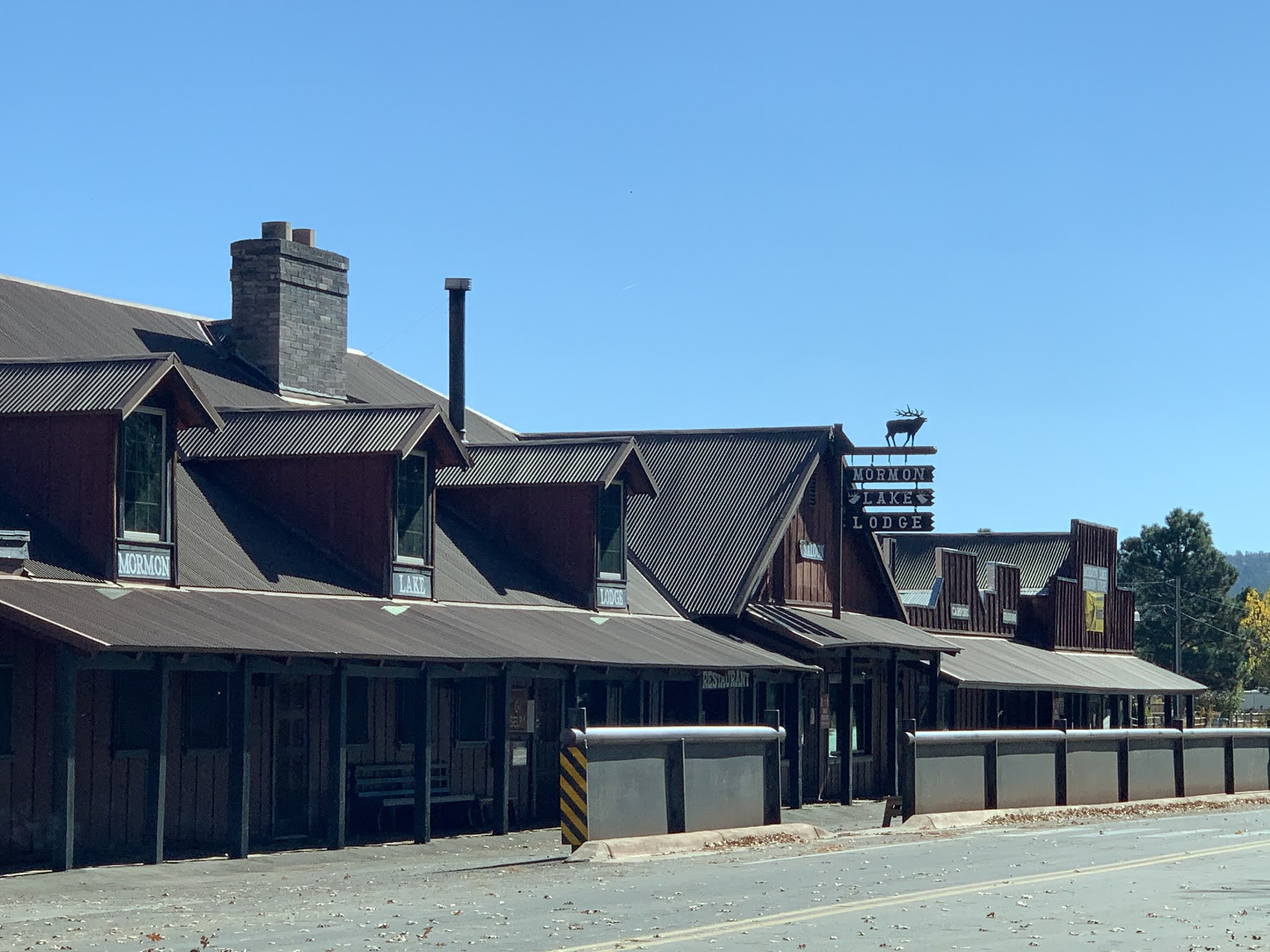
The Mormon Lake Lodge is still open during the summer season,
although Mormon Lake is now dry!!!

Down the road a bit was a historical marker that told
us about the Mormon Dairy that was located on this
spot between 1876 and 1886.

The residence is still standing near by, with power and
water connected, plus a house # and a paddle lock on the door!!!

And when the scenery changed to one with no tall trees
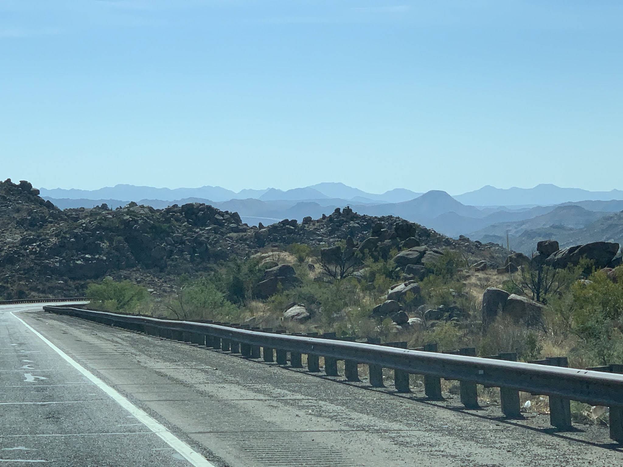
and looked like this, we know we were getting closer to home.

And when you can see the Weavers Needle (left) standing
proudly next to the Superstition Mtns there's no doubt that
we'll be back home in about 30 minutes. As usual, Don
did all the driving while I look about 212 shots,
which included photos and videos. We spent half of the day
above 7200'... all the way up to 7600' DEVINE...
Oh yes, when we got up in Flagstaff and put on our shorts,
it was only 34 degrees. Mission accomplished!!


No comments:
Post a Comment